 |
|
|
|
|
|
| Archeological methods (past
700 to 800 years) can be used where land has been cultivated in the vicinity
of glaciers and where traces of ancient human activity can be correlated
with the development of the glacier, such as foundations and beams from
old buildings, for example, or remains of abandoned irrigation channels,
particularly in the Valais. |
| Traces of human activity |
|
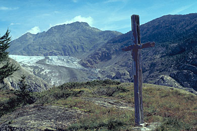
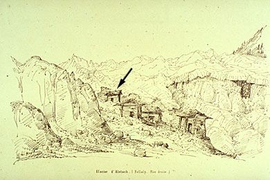
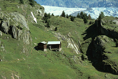
In 1818 the Great Aletsch glacier comes close to farm buildings and valuable farmland. The inhabitants were afraid and tried to avert the glacier advance by putting up a crucifix (Fig. 1). In 1849 the glacier advances again and destroyed during the following years an alpine hut (Fig. 2). Today we can see a part of the foundation below the moraine ridge from 1859/60 (Fig. 3). |
1 - Advance of the Great Aletsch glacier in 1818 |
|
2 - In 1849 the glacier advances again |
3 - Part of the foundation below the moraine ridge from 1859/60 |
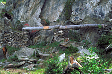
| The "Oberriederi" is a system
of three irrigation channels which were used
from the 12th century until around 1580, most probably with an interruption
in the second half of the 14th century, to take water from the Great Aletsch
glacier to Oberried. This was possible because of the small extension
of the Great Aletsch glacier at that time. The growth period which began
in 1580 and reached a peak around 1678 finally put the Oberriederi irrigation
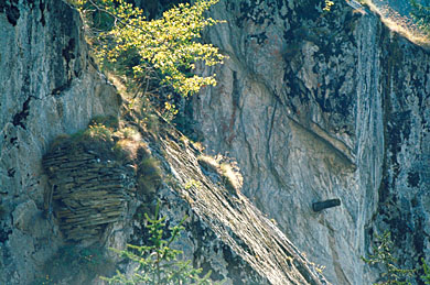
system out of service. Figure 4 shows a stone wall and a beam. Figure
5 shows stone walls with a wooden channel from the "Oberriederi". |
|
4 - Stone wall and a beam of the "Oberriederi" irrigation system |
5 - Stone walls with a wooden channelfrom the "Oberriederi" |
29 August 2011 |
||
| |
||
