|
 1 1
 2 2
|
|
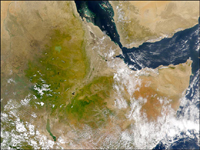
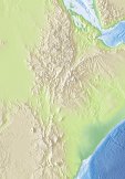
Ethiopia is distinguished from all other African countries
by the extent of its high ground. Approximately 15 % of Ethiopia lies
above 2000 m and 2 % is above 3000 m. In the Afrotropical Region (i.e. that part
of the continent lying south of the Tropic Cancer) not less than 80
% of the land above 3000 m is in Ethiopia.
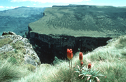
The great height of the Ethiopian plateau is the result
of an intrusion of lava in Tertiary times, so that a thick layer of
basalt, up to 3000 m deep, was deposited on the underlying Cretaceous rocks. The rift, which splits the Ethiopian plateau into the main western
and the smaller south-eastern sections, began to open in the Miocene, 13 to
12 million years ago, and was fully formed by the early Pliocene, 5
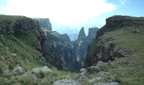
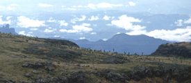
- 4.5. million years ago. In the Ethiopian Highlands, very distinct
climatic zones can be observed. Dry evergreen forests of juniperus,
podocarpus and hagenia dominate below the timberline, whereas
the timberline ecotone is formed by almost pure stands auf giant heaths
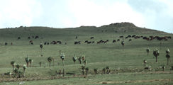
(philippia and hagenia). Afro-alpine moorland with various conditions of
humidity are replacing the forests above the timberline (around 3 300 m a.s.l.)
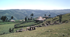
The Ethiopian Highlands are densely populated by humans,
because of the comparatevely good conditions for health, water
supply and the possibilities for farming.
|

 3
3
 4
4
 5
5
 6
6
 7
7
 8
8
 9
9

