
Findings
Results
At first glance, the connectivity of the network is highest in the inner city of Zurich. The high number of cross-city routes (ger.: "Durchmesserlinie") leads to best network coverage in the city center, mainly in the vicinity of the main station. Thus, tram stops located in the outskirts of Zurich are less well connected and have reduced reach within the given time frame. This central organisation of the public transport network is typical for most modern cities. However, the lateral connections in the outskirts are guaranteed by buses today. Additionally, the planned network expansion (see Netzentwicklungsstrategie 2040) aims to alleviate this restriction by adding new lateral tram lines to better connect the individual urban centers of Oerlikon and Altstetten. To this end, an outer and an inner ring line are planned until 2050.
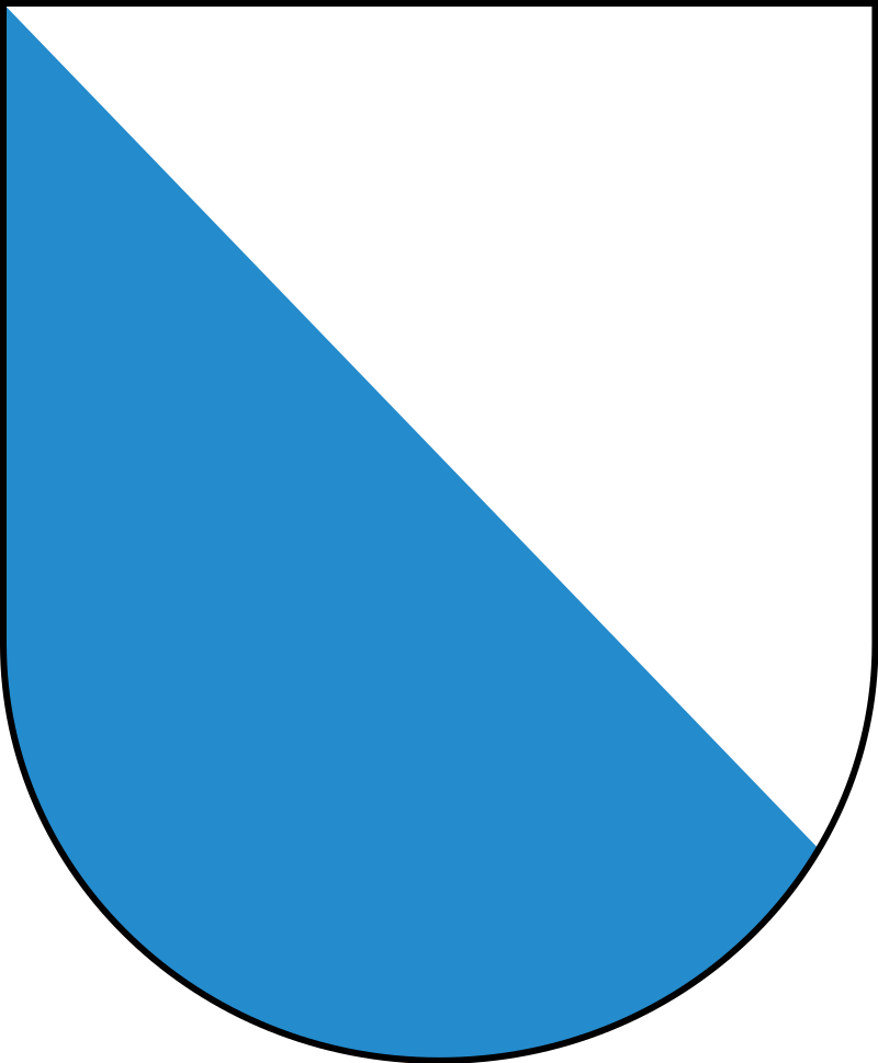
As for more design centered results, we are quite happy with the way our project website and map turned out. As we sought a way to add some local flavor to the website, we used the coat of arms of the city and canton of Zurich (top left and right respectively) as decorations at the edge of the website. They do also enclose the navigation bar, which is coloured in "Züriblau", the official colour of the city and cantons coat of arms. And of course the maps title also had to have a "Züriblau" background. Speaking of backgrounds, we wanted to keep the theme blue, which is why we chose a lightblue background colour. In our opinion this fits well with the rest of the website, while simultaneously allowing the clear distinction of lighter elements, such as images, and darker elements, such as text, from it. The map itself is also kept with "Züriblau" where possible, to continue the style decision. As we used R shiny to display the map in the end, it limited us somewhat in the design of the map, as we would have like it to display the map in a greater portion of the map and maybe have the buttons as map overlays, instead of them being positioned below the map. Furthmore, we realised it would be necessary to reduce data volume, to enable quick computing of the map. To this end, the simplification of the data described in the methods was conducted and resulted in a satisfactory reduction of computing time, while keeping all major characteristics of the result. However, in some cases the reduction of the network data may have led to an incorrect distance calculation. This is most likely to happen with the stops where most lines pass through, which would be the most centrally located ones. We are nonetheless happy with the result, as both our expectations of being able to chose stops by both clicking on them and a search window could be realised within a reasonable computing time. We used a colour scheme from COLORBREWER 2.0 for the different colours of the different time intervals displayed. Also, we made sure to check the used colours are optimized for colourblindness.Answers to research questions
The initially posed research questions (see Background) can now be answered.
How well, respectively quickly can you get around in Zurich using trams?
From most stops, especially in the city center you can get almost everywhere within 30 minutes, perhaps excluding only the airport and the most distant ourskirts.
Although this is great for everyone arriving in the city through the centrally located main train station, which allows for quick and easy onward travel, very few people actually live in Zurich's central district.
This forces many people who travel by tram, but also by train, to use the centrally located hub either because they have to change to a different tram line there or because their line runs through it.
The future evolution of the network has understood this problem and offers countermeasures with the planned outer and inner ring lines, which aim to connect growing population centers outside of the central district.
How centrally are individual tram stops located?
As already touched upon, tram stops in the city's central district are located at a much better position in the network than the terminal stops in the outskirts or stops on outbound lines.
This is not as bad as it may seem, as most terminal stops are not more than a 20 minute ride away from the city center.
How to motivate more people to use public transport in cities?
This is quite a big question we imposed upon ourselves, however we belive by making public transport fast, easy and affordable it will remain an
attractive alternative to motorized individual transport. Advantages of public transport are and will remain not having to search or pay for a parking spot every day,
being able to avoid traffic jams by a) not driving yourself and b) public transport priority lanes, as well as at least theoretically being able to get some things done while traveling.