Public Transport in City of Zurich

Let us explore together!

Background

The public transport network of Zurich is one of most efficient and reliable of the world. In addition to the railway stations, where SBB makes its services available to the public, Verkehrsbetriebe Zürich (VBZ) is responsible for local and regional transport in the city of Zurich. Alongside SBB, it is the largest provider of transport services in the Zürcher Verkehrsverbund (ZVV). VBZ is responsible for tram and bus operations in the city of Zurich and thus offers people in the city and the surrounding regions a high-quality public transport service 365 days a year, at least 20 hours a day. In 2022, VBZ transported a total of 268.5 million passengers, which corresponds to around 581.6 million passenger-kilometres.


For our topic the accessibility is an important element regarding the public transportation in Zurich. Accessibility can be defined as the potential to get from one location (source location) to all other locations (destinations). Several factors play a significant role in accessibility such as public transport timetable, structural data (e.g., population, education and employment). The settlement structure, especially the distribution of population and jobs, which gives rise to spatially relevant activities and demand, is also crucial.


In contrast to accessibility, development is defined exclusively by the transport services available at a specific point (e.g., at a bus stop). The public transport quality classes, for example, are an important indicator of development by public transport, with three easy-to-define criteria forming the basis for calculation:


Type

The type of public transport at a stop

Interval

The interval between services at a stop

Distance

Distance to a stop (as the crow flies)

Interval

The interval between services at a stop

Distance

Distance to a stop (as the crow flies)

Type

The type of public transport at a stop

Distance

Distance to a stop (as the crow flies)

Type

The type of public transport at a stop

Interval

The interval between services at a stop

Research Questions

Q1: How convenient is it to access public transportation in different areas of the City of Zurich?

Q2: How are the stations spatially distributed?

Q3: How frequent are the public transportation options (bus, train, tram)?

Q1

How convenient is it to access public transportation in different areas of the City of Zurich?

Q2

How are the stations spatially distributed?

Q3

How frequent are the public transportation options (bus, train, tram)?

Q1

How convenient is it to access public transportation in different areas of the City of Zurich?

Q2

How are the stations spatially distributed?

Q3

How frequent are the public transportation options (bus, train, tram)?

Relation to UN Sustainable Development Goals

Image 1 Image 1 Image 1

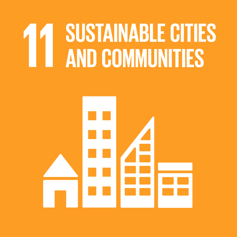
In 2015 more than 190 countries signed two important and promising agreements: the UN 2030 Agenda for Sustainable Development and the Paris agreement on climate change. The Agenda for Sustainable Development includes 17 SDGs regarding several targets such as protecting ecosystems, pursuing sustainable cities and economies, energy, etc.


For this project we have to link transportation to the SDGs. The services and transport infrastructures in the context of economic and social benefits are well known. Transport infrastructure can be the deciding factor between being cut off from and being integrated with the global economy, as well as accessing social and economic opportunities. There is not a specific SDG in the 2030 Agenda for Sustainable Development concerning transport. Transport is highlighted as a decisive enabler in achieving the 17 SDGs. For instance, making significant global advances in reducing greenhouse gas emissions (SDG 13) is unachievable without major efforts in the energy sector (SDG 7), with transport being one of the primary energy consumers. The accessibility is an important element for transportation. SDG target 9 is about the demand to improve quality, reliable, sustainable, and resilient infrastructure, and emphasizes on equitable access for all. SDG target 11 emphasizes the need of ensuring that everyone has access to safe, affordable, and sustainable transportation systems. SDG target 3 addresses the health aspect and that is a major factor as it comes to the safety of transportation and also the accessibility especially for the people in need.

Maps

Hexagon Map

Welcome to the Zurich Public Transportation Frequency Map! This interactive tool allows you to explore transportation frequencies across the city using our 3D hexagon map. The height of each hexagon represents the cumulative public transportation frequency of stops within that hexagon. The map on this page shows daylight transportation, and feel free to switch to night-time map using the switch at the bottom right of the page.

Features:
Weight Sliders: Customize the map by changing the weight of train, tram, and bus frequencies. Moving the slider closer to 1 for a particular transportation mode increases its impact on the hexagon heights.
Radius Slider: Adjust the size of the hexagons by using the radius slider.
3D/2D Toggle: Switch between 3D and 2D map display modes.
Map Rotation: Hold the Ctrl key and move your mouse to rotate the map.

Explore Zurich's public transportation accessibility and reachability at various locations, and feel free to adjust the weights of modes of transport with your own preferences!

Hover me

Station Map

Here is the Zurich Public Transportation Stations Map! This interactive map and plot show stations within the range of the City of Zurich. The map is informative, and it displays the 461 public transportation stations as blue circle markers. The bar plot below indicates the bus frequency of each line.

Features:
Initial Map: Adjust the map view by zooming and panning. Click on the dots to show more information about the stop. The popup displays the station name, and the frequency of tram, bus, and train stops at the station, measured in trips per hour (tph).
Select Station: Use the drop-down menu to select a specific station as needed. The list of stations is in alphabetical order. The map will zoom in on the selected station, highlighted in orange.
Reset Button: Return to the initial overview map view by clicking the “Reset Map View” button.
Interactive Plot: Click on the orange bar of the desired bus line in the plot to filter the map and display all stations that the selected bus line stops at.

Explore the interactive map with the frequency plot to gain insights into the public transportation network of Zurich! This tool provides a detailed overview of the geographical distribution of bus lines, station locations, and bus frequencies, offering valuable information on public transportation accessibility.

Findings

The 3D / 2D hexagon map reveal several key insights about the distribution of public transportation across Zurich, the accessibility, and the frequency of the transportation. The tallest hexagons are concentrated in the center, indicating a high density of public transportation services. Major daytime stations include Goldbrunnenplatz, Oerilikon, Waffenplatzstrasse, and Central. These main stations scattered from north to south of the city, showing a well-distribution network throughout the city. When the map is filtered to show only the tram stations, a clear pattern of tram lines emerges. The tram services are mostly centralized in the center of the city and radiate outwards. In contrast, the bus map shows that the bus stations with the highest frequencies are located more towards the edges of the city. This show that Zurich is a city with well organized public transportation system, with trams covering the city center and buses reaching all the outer areas. Zurich transportation system is also notable for its services of night buses. The maps of night transportation show that the most easily accessible bus stations at night are mostly around the train stations. This likely reflects an intention to connect train and bus services.

The frequencies of different transportation mode are well illustrated in the interactive maps. On average, trams in the city have eight trips per hour at each stop, indicating a tram service every 7.5 minutes, except for tram lines 12 and 15, which have only four trips per hour. Train services in the city run about once to twice per hour during the daytime and about once per hour at night. Notably, the S10 and S4 lines have very frequent services, with six trips per hour. Daytime bus services range from two to eight trips per hour, depending on the service area of each bus line. Night-time buses are about half as frequent, with one to four trips per hour, and the number of night bus lines is also about half of the daytime bus lines.

Overall, our map of public transportation accessibility provides a clear view of current transport system of the City of Zurich. It offers informative and engaging interactive experience. Our findings from the maps answer our research question, where it is relatively convenient to access public transport throughout the City of Zurich using different transportation methods. The stations are well spatially distributed, with complementarity coverage by buses and trams.

Data & Method

Data:


Equation for station frequency of daytime public transportation

day equation

Equation for station frequency of night public transportation

night equation

W: weight
Freq: frequency

Sources

Reference:
Vandycke, N., Viegas, J.M. (2022). From Sustainable Development Goals to Sustainable Mobility. In: Sustainable Mobility in a Fast-Changing World. Sustainable Development Goals Series. Palgrave Macmillan, Cham. https://doi.org/10.1007/978-3-031-08961-9_3
Sources:
1. Verkehrsbetriebe Zürich (VBZ). https://www.stadt-zuerich.ch/vbz/de/index/die_vbz.html
2. Reiseinformationen, Zürich, Schweiz. Mit den öffentlichen Verkehrsmitteln in Zürich unterwegs. Die folgenden Informationen zu Tram, Bus, Zug, Fahrkarten und Zonenplänen bringen Gäste sicher und klimafreundlich an ihr Ziel. https://www.zuerich.com/de/besuchen/unterwegs-in-zuerich/oeffentliches-verkehrsnetz-in-zuerich
3. Kanton Zurich. Verkehrsangebot. https://www.zh.ch/de/mobilitaet/gesamtverkehrsplanung/verkehrsgrundlagen/verkehrsangebot.html>
4. Kanton Zurich. https://www.zh.ch/content/dam/zhweb/bilder-dokumente/organisation/volkswirtschaftsdirektion/afv/publikationen-afv/KTZH_AFV_Broschuere_OeV-Gueteklassen_2_1_2020_08_25.pdf