Introduction
This website is dedicated to the topic of glacier ice-melt and its influence of discharge in glacierized catchments in Switzerland. The cryosphere describes material of the Earth’s surface (mostly snow, ice and soil) whose temperature is below the freezing point continuously (Wang, 2024). Climate change is accelerating glacial retreat worldwide and this has a wide range of impacts on both human and natural systems (Poussin et al., 2021). There are several possible threats that cryosphere changes pose to the environment, such as re-emergence of microbial pathogens (previously preserved in the ice) and the contribution to sea level rise (Arora & Mishra, 2022). In this project, we mainly focus on the impact cryosphere change has on discharge patterns in glacierized regions.
To put our findings into perspective, we connect our project to the Sustainable Development Goal (SDG) framework. The United Nations (UN) established 17 so-called “Sustainable Development Goals” (SDGs) for the Agenda 2030. These goals contain 169 targets in total that should be achieved by 2030 to contribute to a more sustainable economic, social and ecological state worldwide (Wang, 2024). We connect our project especially to SDG 6 which is about clean water and sanitation, and SDG 7 which is about affordable, reliable and sustainable energy (Wang, 2024).
The cryosphere and glaciers in particular provide different services that benefit humans, like the provision of freshwater. The most suitable target for this topic is target 6.4 of the SDG 6, which addresses water-use efficiency, sustainable withdrawals and freshwater supply to reduce water scarcity (Arora & Mishra, 2022). SDG 6 has a great synergistic connection to the other SDGs, mainly climate action (SDG 13), as almost all components of the cryosphere are thawing or melting and therefore lead to positive climate feedback with sometimes irreversible consequences, such as the collapse of the Greenland and Antarctic ice sheets (Arora & Mishra, 2022). This doesn’t mean that the changing cryosphere only affects SDGs negatively, because, for example, with an increase of alpine hydropower potential, there is an increase in clean energy production. Alpine hydropower contributes to target 7.1 and 7.2 of SDG 7 which address clean energy use (Wang, 2024). In Switzerland hydropower makes up around 55% of electricity production out of which approximately 3.1% to 4% originate from glacier mass loss. Therefore, power production in Switzerland currently profits from glacier mass loss, however, this effect is not sustainable. In the long term, the retreat of glaciers will affect hydropower energy production negatively. Around mid-century the present-day production levels will have declined rapidly in all Swiss regions, except the Rhone river catchment because it consists of a large number of glaciers (Schaefli et al., 2019).
In our project we are looking at the connection between ice-melt and specifically summer discharge. Alpine regions are highly sensitive to global warming and are warming up twice as much as the global average (Zhang et al., 2022). The continental climatic conditions in the mid-latitude country make it sensitive to the rise of temperatures. Climate change is altering the environment globally and affects weather events and precipitation regimes. One of the significant impacts of climate change on the physical environment is the reduction of snow cover and the receding of glaciers (Poussin et al., 2021; Wang, 2024; Zhang et al., 2022). Several trends can be observed in Switzerland with regards to climate change: even though there are large natural fluctuations, average precipitation seems to decrease in the summer. At the same time, temperatures tend to increase, which leads to drier conditions, possibly facilitating droughts. In Alpine regions the precipitation and discharge regimes are melt-dominated where the high-flow regime takes place in summer, while in the non-Alpine regions the regimes are rainfall-dominated, and the high-flow regime is in winter. These conditions lead to the Alpine regions being more susceptible to winter droughts, while the non-Alpine regions are more susceptible to summer droughts (Poussin et al., 2021). In the short term the increase in ice-melt from warming summers supplies more freshwater in the downstream rivers, on the other hand, in the long term the cumulative loss of ice volume will act to reduce the ice-melt contribution to streamflow (Pellicciotti et al., 2010; Pellicciotti et al., 2014). For evaluating how the contribution of ice-melt to summer streamflow will change in the future it’s important to establish the current conditions and this is what motivates this project.
More information about the SDG 6 & 7 can be found by clicking on the icons below and additionally here.
Research question
How is the ice melt in Swiss glacierized catchments a driver of summer streamflow?
Study area
Three glaciers were chosen for this study based on data availability. The Aletsch glacier (or sometimes great Aletsch glacier) is the biggest glacier in the European Alps. Its area is about 80 km² and its volume is around 15 km³. Since 1880 the glacier has retreated around 3 km (up to 2020) and now it’s around 22 km long. Like the others, the Aletsch glacier is located at high elevation, where air temperatures are rising even more than in lower regions leading to accelerated ice loss in the last few years (Leinss & Bernhard, 2021). Since 1984 it has retreated over 1.2 km. Another one of the glaciers we are looking at is the Rhone glacier. It is a south facing valley glacier and the climatic conditions are similar to the Aletsch. Its Equilibrium Line Altitude (ELA) is around 3100 m. It has retreated over 250 m since 1994. The Clariden glacier is located in the Glarus Alps. Its elevation is a lot lower than the others, with its ELA being just below 3000 m with its tail going down to 2100 m. The Rhone glacier geometry is top heavy, the Aletsch glacier is very top heavy, and the Clariden glacier is in contrast very bottom-heavy (Gharehchahi et al., 2021).
Method
The Webmap was developed with RShiny and the data preprocessing was done with RStudio. The general workflow was to link the polygons describing the glacier outlines throughout the years with the corresponding mass balance values, as well as the discharge where the magnitude is shown as a varying line width. In this analysis we focused on each glacier individually and not all displayed glaciers on the web-map show the same years due to data limitations.
Pre-processing
As a first step, we read in the WGMS glaciological mass balance data in RStudio. The dataset contains the mass balance data of numerous glaciers in Switzerland. We are working with summer mass balance data, even though our research question is about ice melt. We decided to talk about ice melt instead of summer mass balance because we expect people to understand the term ice melt more easily. Maybe many people do not understand immediately that negative mass balance values (which is the case for most values) indicate more ice melt. However, the conclusion of mass balance values to ice melt is not straight forward. For example, a glacier that accumulates 5 mm of mass (in a period) and loses 10 mm (in the same period) has a mass balance of -5 mm. Another glacier that accumulates 0 mm of mass and loses 5 mm also has a mass balance of -5 mm. In both cases the mass balance is the same but the ice melt is higher in the first case. Therefore, in our research question we make the assumption that the accumulation of mass during the summer period is very low and relatively equally distributed throughout the years. We also read in the GLIMS data which contains the glacier outlines. We decided to only analyze glaciers with continuous mass balance and discharge measurements (at least 15 years) because in our interactive map we want to show the changes over time which makes little sense when there are too many gaps between the years. Another important criterion was to only keep glaciers that lie near to a discharge measurement station because if the station is too far away it is unclear how much of the discharge actually stems from the glacier ice-melt and how much comes from other streams or rainfall. Only three of the glaciers in the datasets could match our criterions: Aletsch glacier, Claridenfirn and Rhone glacier. The distance between the glacier terminus and the discharge station varies between the three selected glaciers. The distances are 2.8 km, 3 km, 11 km for Aletsch, Rhone and Claridenfirn respectively. These are the distances relative to the present glacier terminus position. As a next step we merged the mass balance and glacier outlines data. All the glacier outlines were simplified and smoothed to get a more elegant display and because the highly detailed outlines are not particularly useful for our project. Ideally we would get a glacier outline with a mass balance and discharge data value for every year, but our data is not perfectly continuous. In case of a missing glacier outline, we took the outline for that particular glacier from the closest year. After we prepared the mass balance and outline data, we read in the discharge data from the closest discharge stations (respective to the three glaciers), namely Blatten (for Aletsch glacier), Gletsch (for Rhone glacier) and Linthal (for Claridenfirn). The data is provided at a daily timescale, we calculated the average across the months of June, July and August to get an overview over the discharge of the summer months.Map design
After we finished the preprocessing we started to design the interactive map with RShiny. The glacier's outlines change over time but these changes are hard to see, but our focus for the project is more on the ice melt (mass balance data) anyway. Hence, we decided to color the glacier polygons according to the ice melt of the glacier which is represented by the (negative) summer mass balance. In this case the value for the mass balance (which is mostly negative in the dataset) becomes positive on our map for easier computation, and the higher the value the more negative the mass balance was. We decided to show this variable on a continuous yellow-red scale, and the darker red the value the bigger the mass balance loss. The discharge data is visualized on the map as the line width of the stream that brings the ice melt from the glacier to the measurement station. We read in the river lines data from the SwissTLM 3D product from Swisstopo. The river shapefile was set to only select the part of the river that reaches the discharge station, so that the part after the station is not selected. The selected river lines were then scaled (also on a continuous scale) in their weight based on the summer average discharge for a given year.
Map
The web-map shows detailed mass balance and discarge information about three Swiss glaciers and how they changed over time. When looking at our map one can select one glacier (out of the three). For each glacier, a timeseries can bet played to analyse the change of the summer ice melt (color of the glacier) compared to the amount of the river discharge (size of the river). Only years with both available ice melt and discharge data are included in the animation. The speed of the animation can be changed with the handler in the sidebar. The sidebar can be collapsed. By clicking on a glacier a popup appears, showing the timeseries graph of the summer ice melt.
Results
When interacting with the web-map, users can investigate the relationship of ice melt of one of the three glaciers and the discharge (at the nearby discharge station).
As seen in the web-map the ice melt varies a lot throughout the years for all the glaciers. Claridenfirn shows a more clear increase of ice melt over time, in contrast to the other two glaciers, what is different from our expectations that all mass balances are increasing throughout the years (due to climate change).
To answer our research question, we created three correlation plots of the ice melt and discharge values that are already shown in the map (as seen below).
There is a significant strong correlation between the summer ice melt and the summer river discharge for the Aletsch glacier (correlation coefficient: 0.71) and for the Rhone glacier (correlation coefficient: 0.73). However, there is no correlation between the Claridenfirn and the Linth river discharge (correlation coefficient: 0.0004).
The correlation plots indicate that in case of the Aletsch glacier and Rhone glacier a higher ice melt (i.e. more negative mass balance) correlates with a higher river discharge. However, correlation does not necessarily imply causation and we cannot be sure if the observed effect stems from ice melt alone. Nonetheless, our assumption, as backed up from the literature, was that in the short term ice melt from glaciers will increase due to climate change and therefore discharge will increase as well. This is the reason we interpret our results for the Rhone glacier and Aletsch glacier to be in line with our assumptions even though the mass balance is not as clearly getting more negative as we were expecting. The river discharge varies even more throughout the observed time intervalls and we cannot identify a strong decrease or increase of river discharge. This is probably also one of the reasons why we cannot identify a strong correlation for Claridenfirn. Its most nearby discharge measurement station is further away compared with the other glaciers and the discharge data varies a lot throughout the years.
Limitations
Conceptual limitations
The provided Web-map can be used to get a general overview over the changing mass balance and discharge of the Claridenfirn glacier, the Rhone glacier and the Aletsch glacier. However, there are many more glaciers in Switzerland that could be studied, and with more glaciers incorporated in the analysis, it would be possible to make more meaningful and significant statements about the relationship of ice-melt and summer streamflow in Swiss glaciarized regions. We are content with our decision to consider "only" three glaciers in an attempt to answer the research question nonetheless, because these were the only glaciers with a discharge station nearby (only measuring water flow coming from the glacier) and with almost continuous data. The correlation between summer ice melt and summer discharge also depends on how far the glacier terminus is to the discharge station and if there are any other tributaries in between. For the Aletsch and Rhone glaciers the discharge stations are relatively close to the glacier and without any major tributaries that add water to the river that is not from glacial melt. On the other hand, for Claridenfirn the discharge station is further away and there are two major tributaries in between that disturb the link between glacier melt and the streamflow measured. A solution to this would be to separate the glacier melt signal from the discharge data using modelling approaches. Moreover, this problem highlights the need for more discharge measurements in proglacial streams. A continuation of this project would be to apply the methods to glaciers in other alpine countries that have both mass balance data and discharge measurements near the terminus. The mass balance data used in this project was limited to the in-situ glaciological mass balance, however, this could be extended to also using geodetic-derived mass balance data. While in-situ mass balance measurements are scarce, geodetic measurements using satellites are much more widespread and would increase the number of glaciers available for investigation.Technical limitations
The generalization of the glacier polygons was done for a large scale. However, when zooming out of the map glacier outlines are too detailed. To tackle this problem, several outlines with corresponding generalization for different zoom levels could be created. Another aspect that could have been explored with more time is to emphasize the downstream impacts of this variation in streamflow driven from ice melt. With a switch the map could zoom out to show the large-scale river basin to give a better idea of where this glacial-melt water ends up. Furthermore, in this overview map locations where river water is extracted for industry or agriculture could be shown. In a lot of the Alpine rivers hydropower dams play a major role in altering the streamflow regime. For instance, just downstream of the Massa river discharge station there is a hydropower dam. It would be interesting to compare between the discharge measured upstream and downstream of this dam to see if the glacier melt interannual variability travels past the dam. In our web-map we used an animation for each glacier where users can see how the ice melt (represented as color hue change) and river discharge (represented as line width) change over time. A problem with our dataset is that we don‘t have fully continuous data and that means users have to be aware that the different jumps don‘t necessarily reflect yearly changes. Another limitation with our animations is that the background map loads new for every year leading to a visible change which could distract the users from focusing on the polygon color and line length to interpret the change in the map, thus eventually leading to change blindness.Outlook
In our project we could show the connection of ice melt in summer and discharge for the Aletsch glacier, Rhone glacier and Clariden glacier. For the first two we could observe a strong positive correlation. It would be interesting to see if other glaciers in Switzerland and all over the world show the same patterns. Our findings show that at least currently we can see an increase in discharge for some glaciers with high ice melt. However, as we know from the literature, in the future when glaciers will decline further discharge will eventually decrease, potentially having a strong impact on the previous usage of said discharge, such as hydrological energy production.Sources
Literature
Glacier data
GLIMS Glacier Outlines
WGMS Glacier Mass Balance
Streamflow data
Swisstopo River lines

BAFU Streamflow

BAFU Discharge stations
Cover image
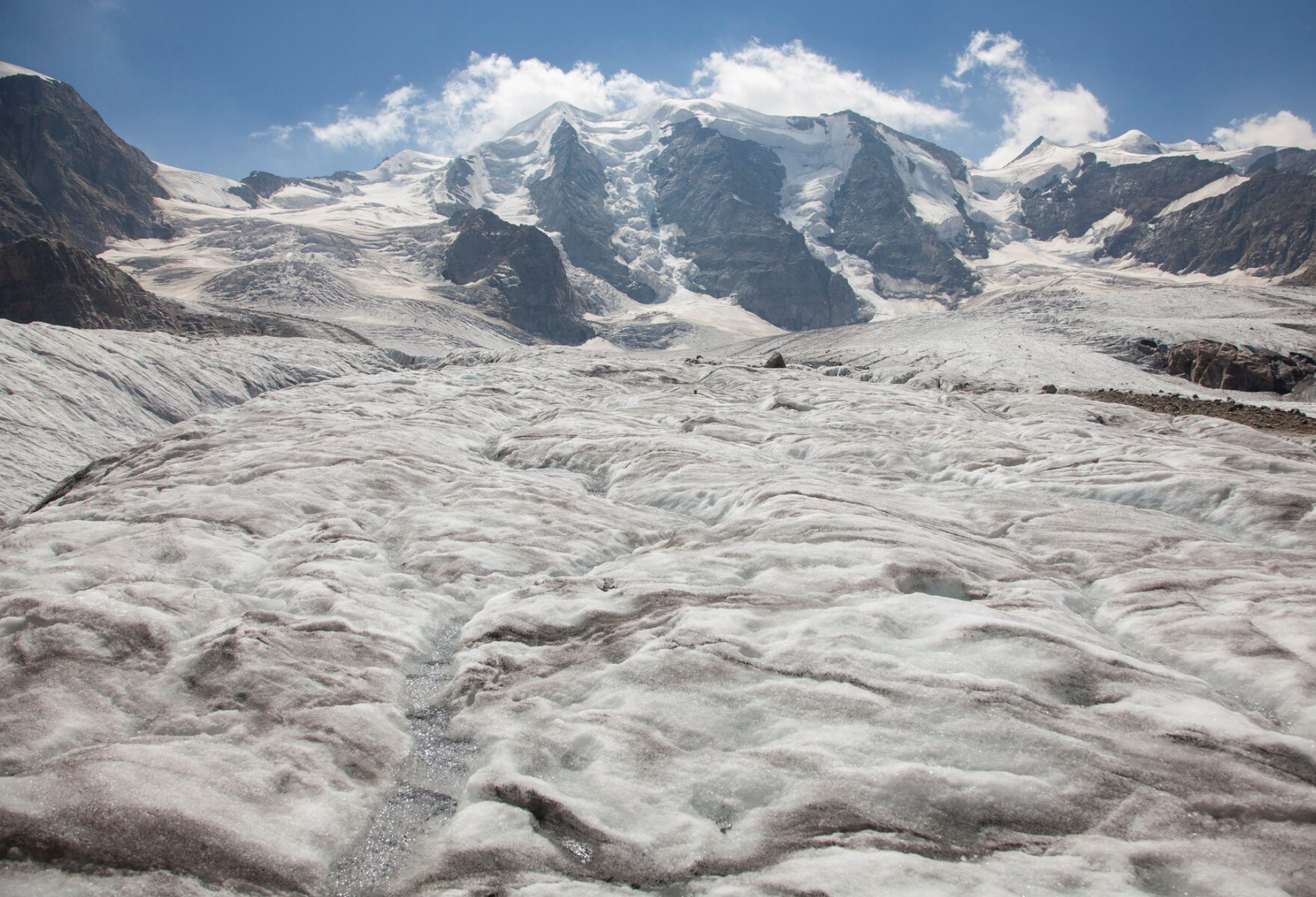
Reuters.com
Contact
Phone: 079-123-456
Email: geo454@uzh.ch
Address: Winterthurerstrasse 190, 8057 Zürich
About Us
Annika Spaar
Website creator and design
Alisha Aydin
Website design and content creator
Giulio Saibene
Web Map creator
Valerie Schneider
Web Map creator