Scanning4Africa
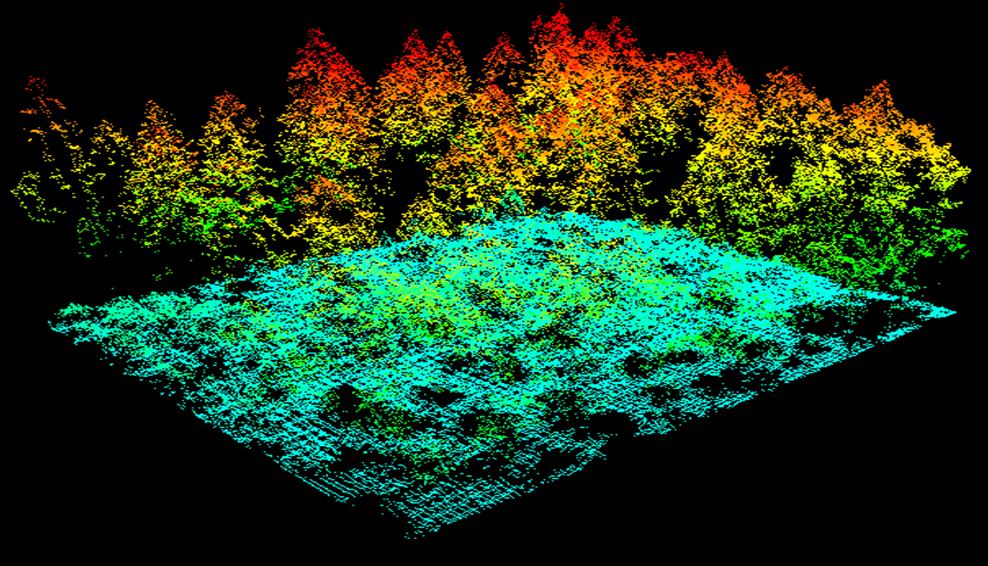
Forests and agroforestry systems in the Global South are critical for biodiversity, carbon storage, and local livelihoods. Yet, affordable and sustainable systems to monitor their three-dimensional structure are lack-ing. Current approaches either rely on expensive, high-end sensors operated by external experts, which leads to limited temporal coverage, dependency on external providers, and loss of local data sovereignty. Or on conventional manual methods such as measuring tree diameters and heights with tapes and hypsometers, which are labour-intensive, time-consuming, and unable to capture the full structural complexity of ecosystems. Mission: To enable sustained, high-resolution monitoring of the three-dimensional structure of forests and agroforestry systems in the Global South. We will design and deploy a fully open, low-cost, easy-to-operate mobile laser scanning package, complete with a medium-range laptop, pre-installed processing software, and offline training materials. Coupled with capacity-building programmes and community data govern-ance frameworks, this system will empower local practitioners and researchers to independently collect, process, and own structural data, enabling repeated monitoring over time and contributing to both local management and global observation missions.